
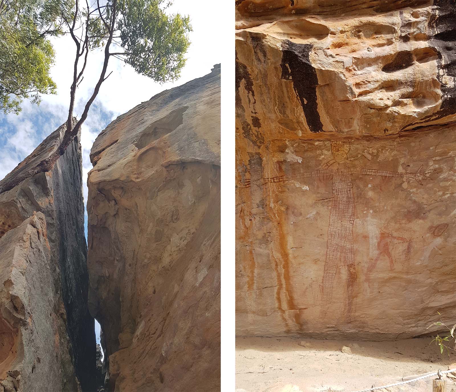
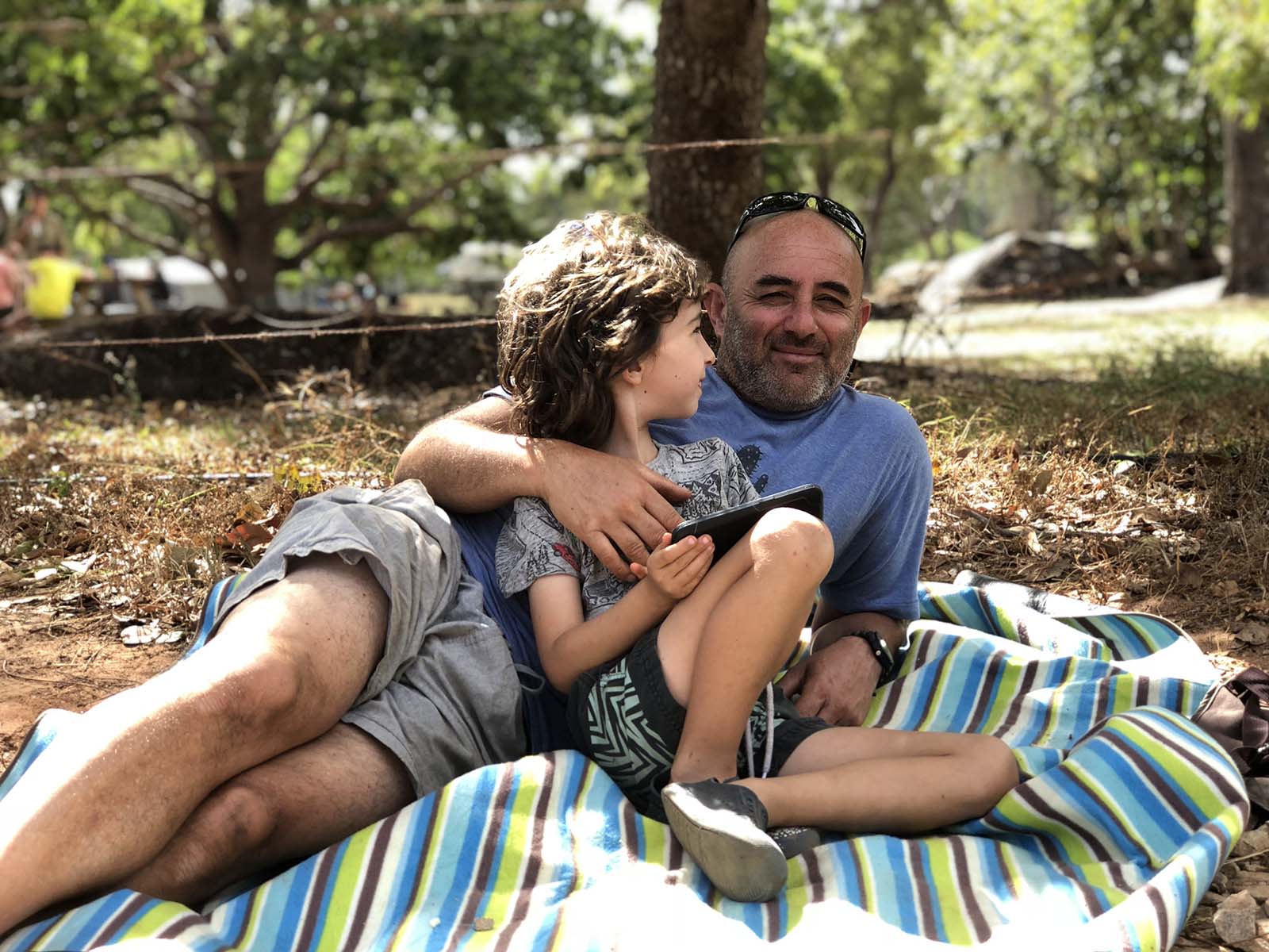
Cape York had been on our bucket list for over 10 years. When our friends The Friends (Tom, Jacki, Oliver & Flethcer) decided to join us for this part of our trip, it was made all the more awesome.
Here is a snippet of the first part of our adventure, on the way up to Loyalty Beach campground at the top of The Cape. Details follow below…..
By Karina
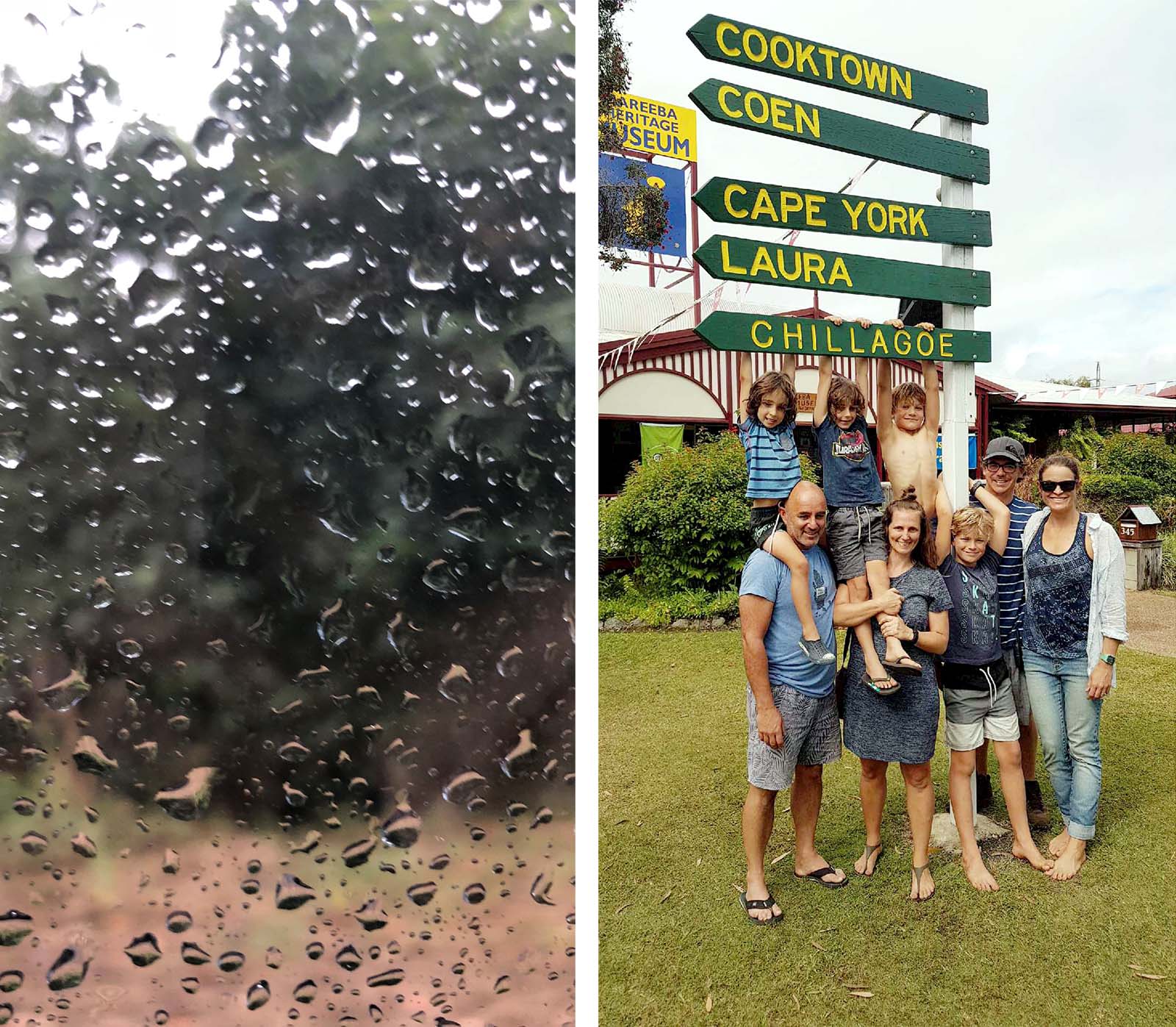
It felt particularly epic getting to this point of our trip. I’ve probably not felt as well-prepared and totally unprepared as I did as we set out from Cairns on the first rainy morning we’d had for a while. We were now a tribe of 8, with 4 boys under 10. We left Ellis Bach, near Palm Cove, around noon, and drove the narrow, hair pin bending road across the range through drizzle.
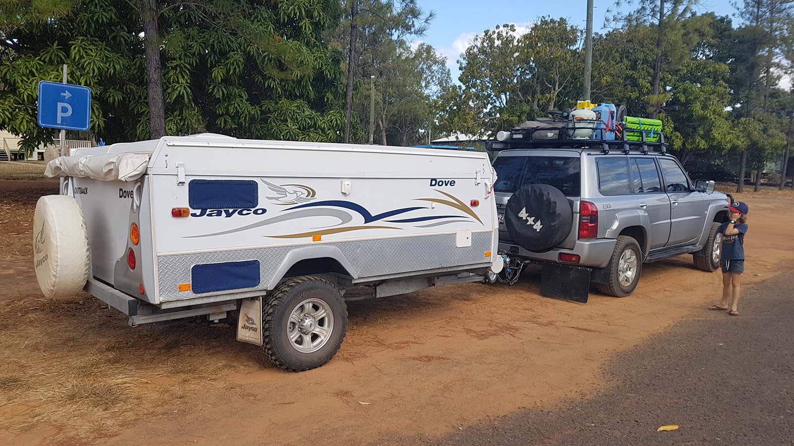
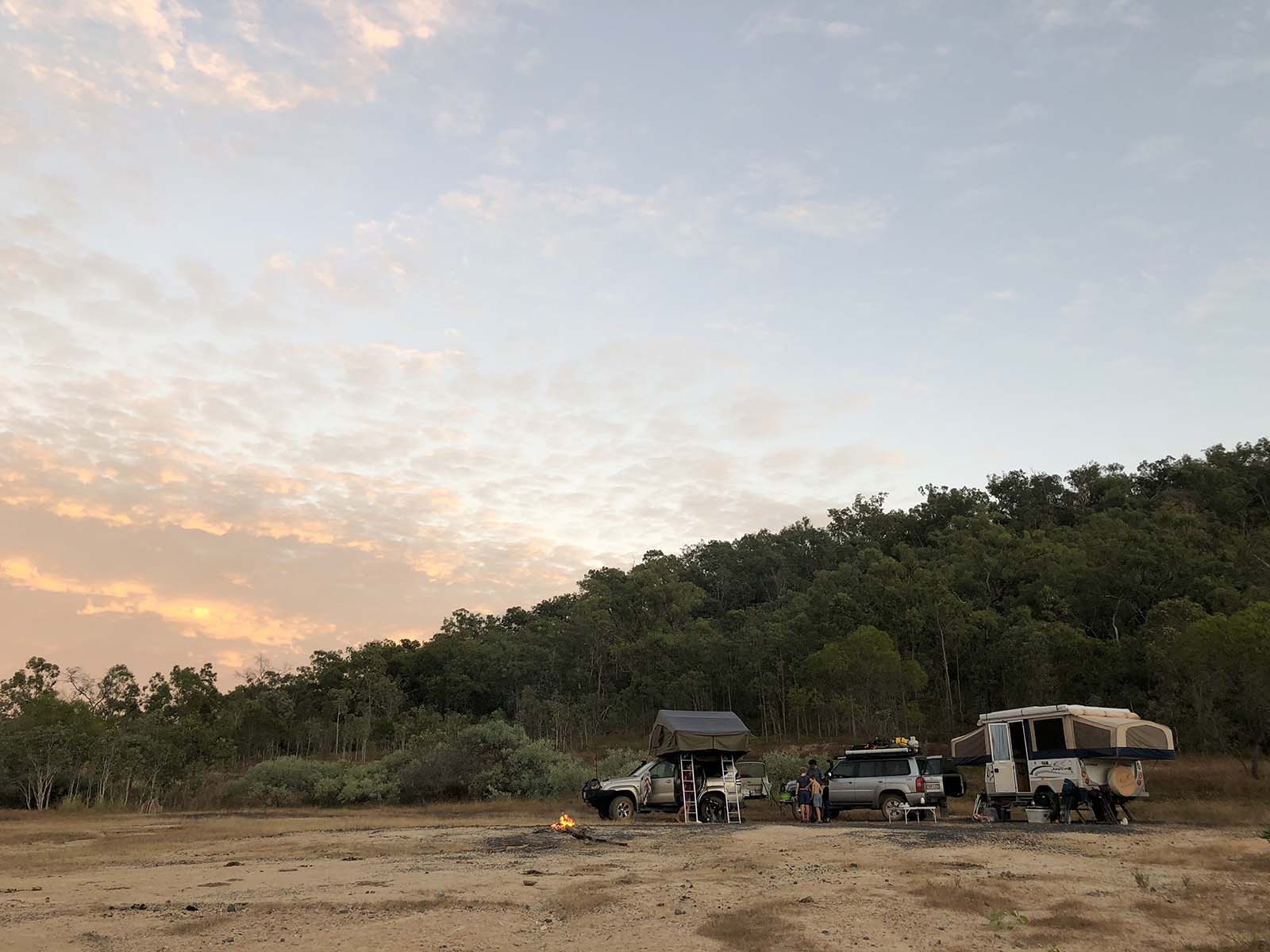
We were in a convoy now and giggled away over the UHF like dumb teenagers. At this stage of the trip I had the most knowledge of where we were going, but I still didn’t really know where we would stop and how far we would get once we hit the dirt. Road conditions up this way really are unpredictable, even though the distances between places are really not all that great. It’s just a whole lot of dust and dirt with no supplies and no reception between roadhouses. But the whole first day was on sealed road, so we moseyed along quite easily with a plan to look for a camp from around 3pm. And we found an absolute cracker, just west of Mount Carbine.
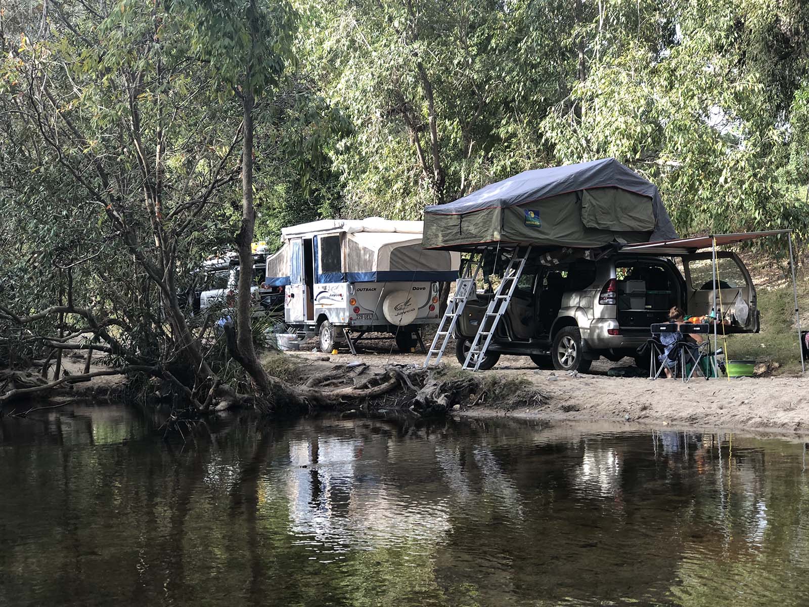
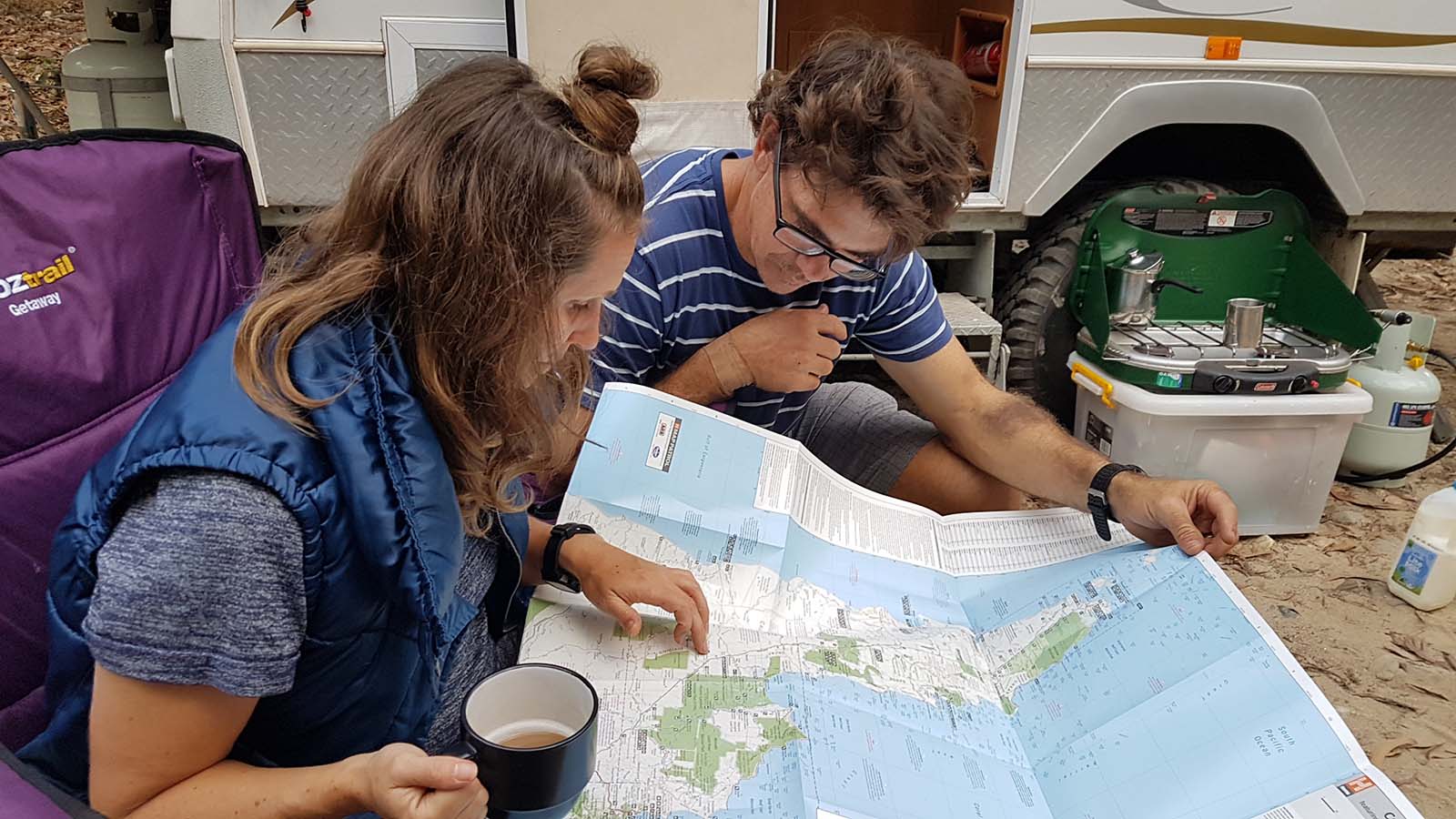
We were using Wiki Camps app for finding most of our campsites and I cannot rate it highly enough. Between that, our Hema paper maps and my iPhone we were managing the navigation quite well. In fact I have never been more happy to have the spy power of an Apple in my kit. My phone has known exactly where I’ve been at all times, even when the digital map was utterly blank. Usually that would worry the begeezes out of me for privacy reasons, but in remote country like this I was totally okay with being under surveillance. So as we pulled off the road just before the bridge over McLeod creek, and made our way down the sandy track to the creek edge, we whooped and hollered and high fived at where we’d ended up.
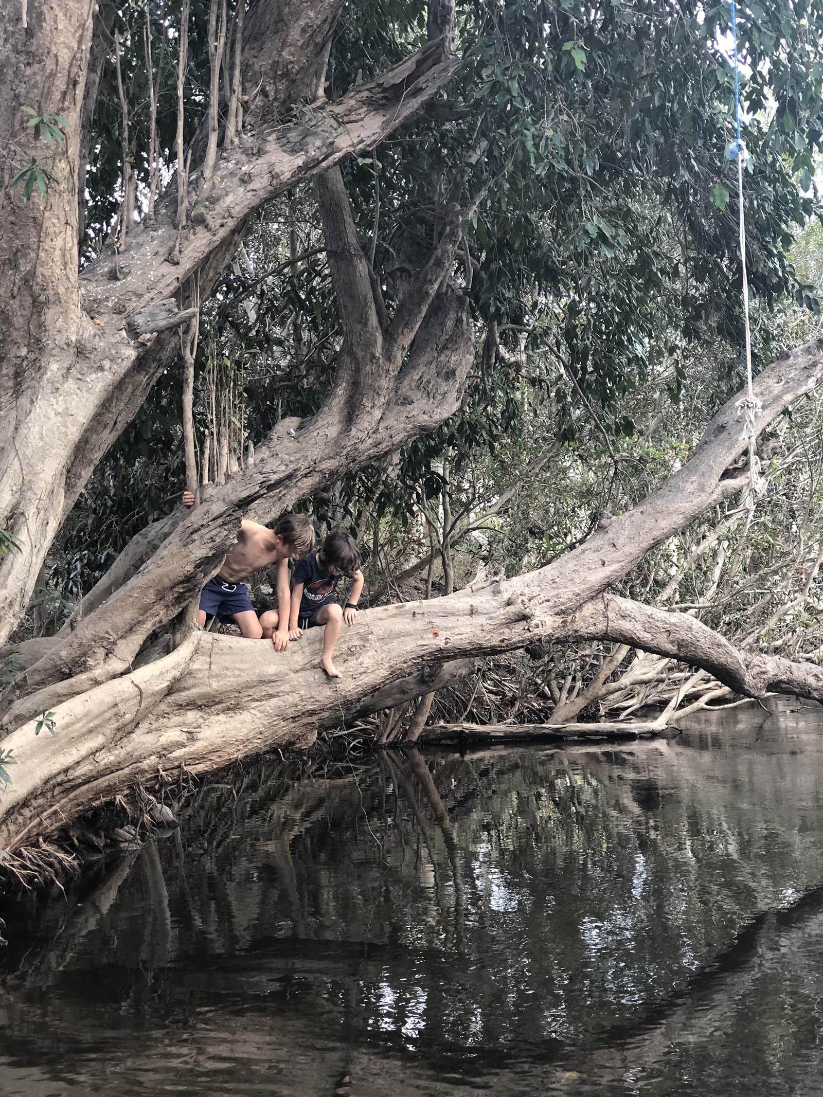
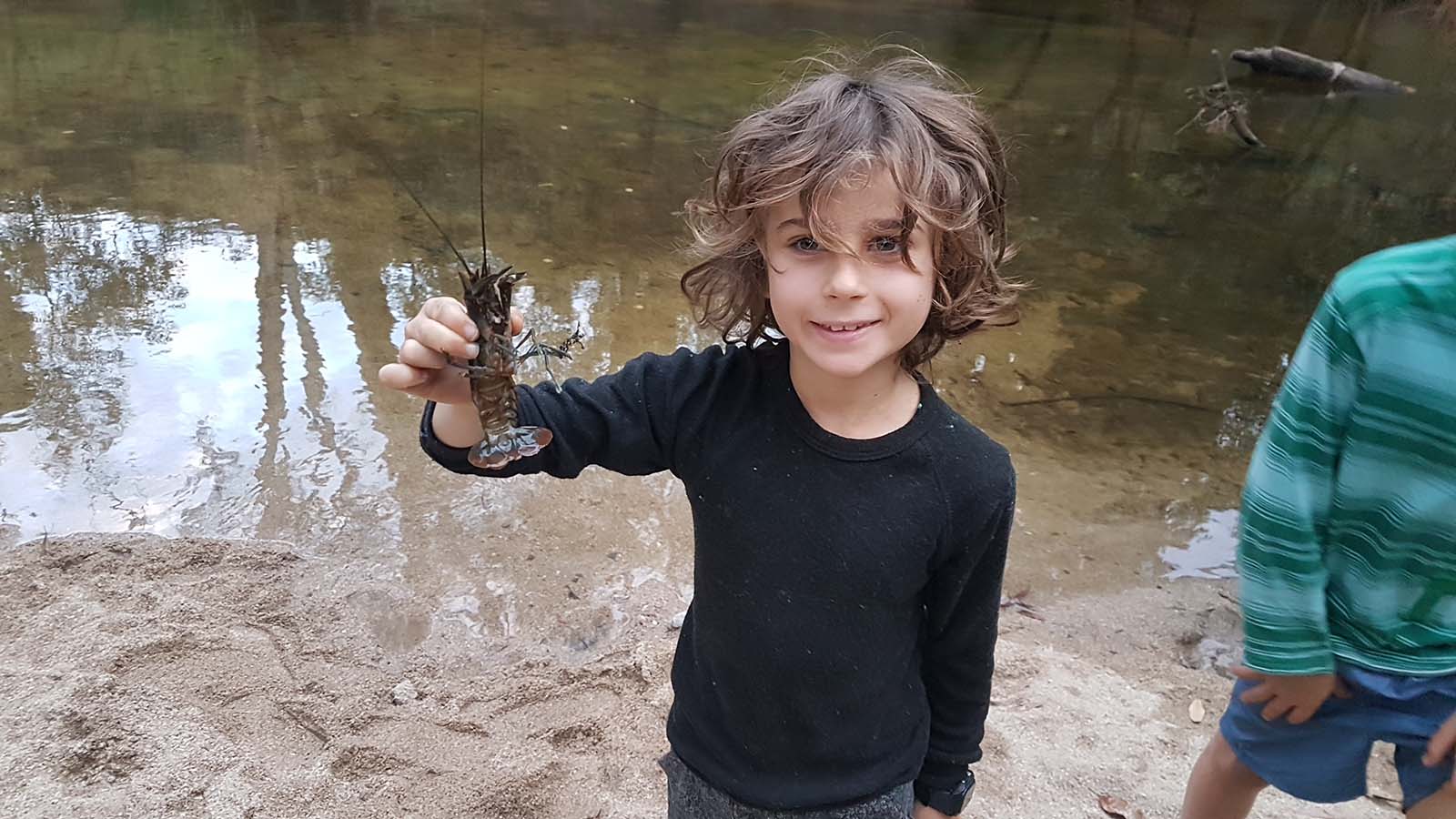
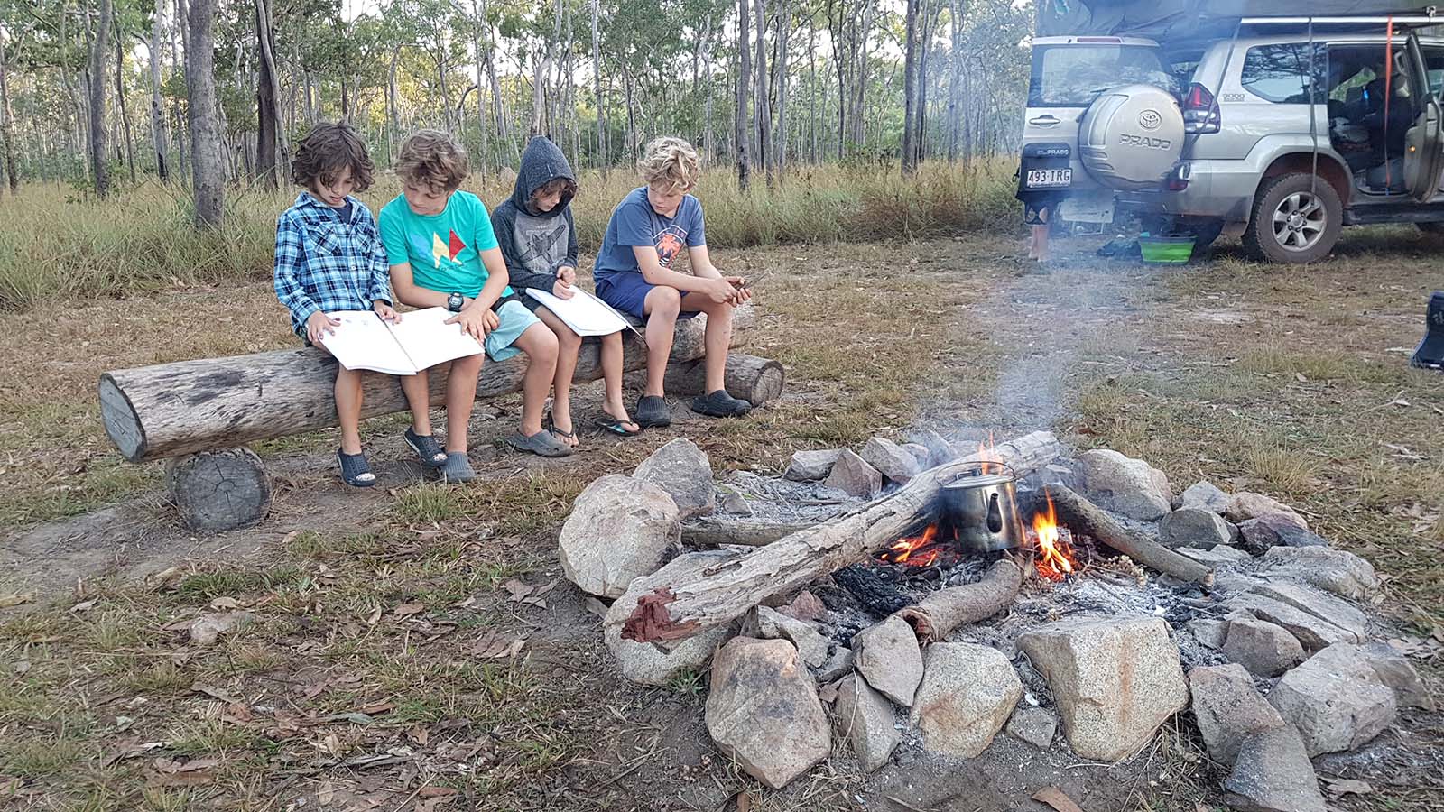
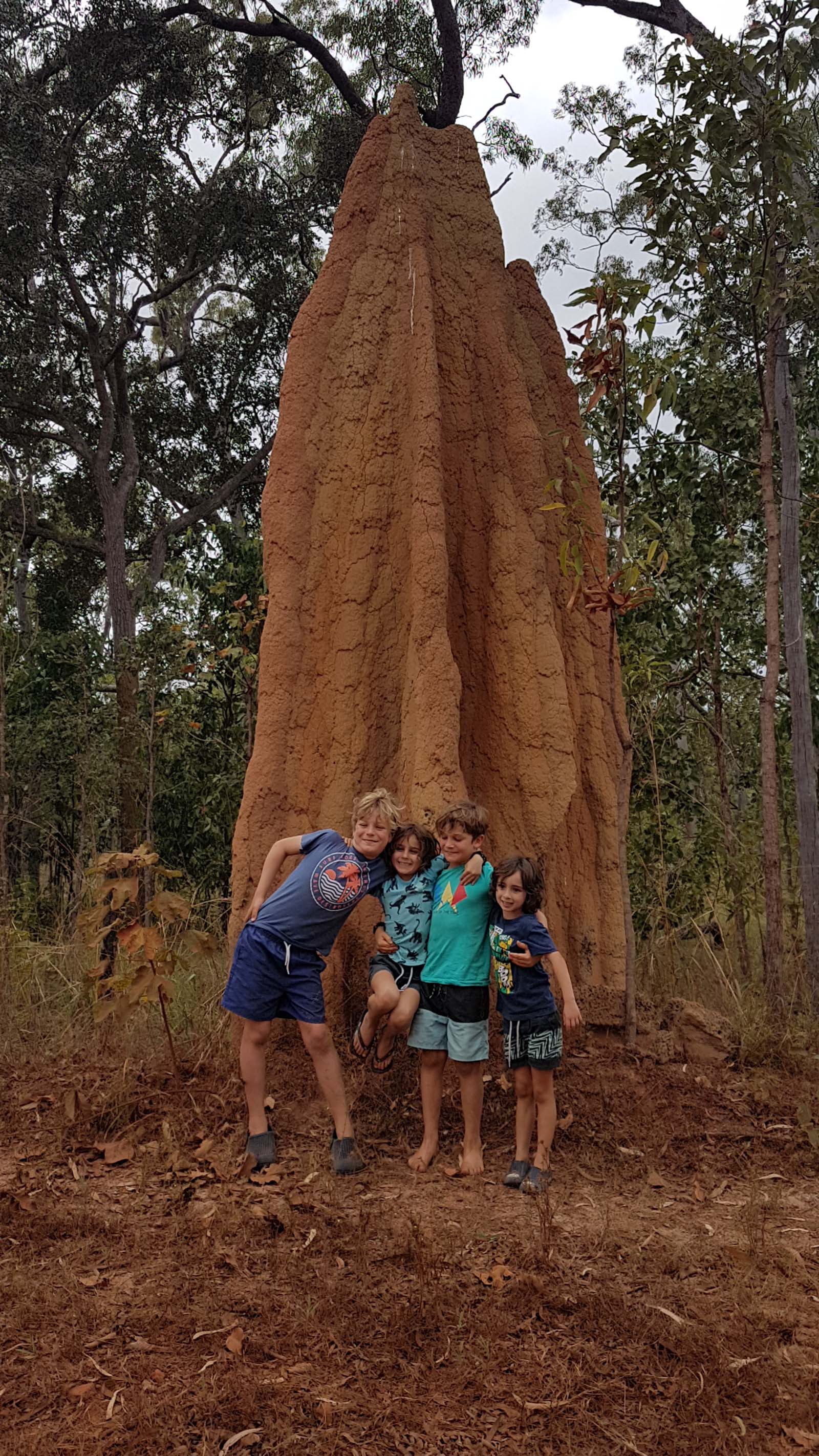
The kids even caught a pair of yabbies in the creek and proceeded with a whole moral debate about whether they should eat them or free them. Two kids were barracking for animal rights and the other two were arguing survival skills – lucky for camp politics the teams were mixed, and it wasn’t one family against the other. In the end, they came to a compromise to eat the biggest one (because it was obviously the oldest one) and free the smaller one (because it had more life left to live).
We really could have stayed here for days, but adventure beckoned, so with a vague idea of what was ahead we packed up and headed out. At our lunch spot in the town of Laura it was easy to tell which cars were heading north like us and which were coming back down. The dusty south bound vehicles all seemed to us like they were branded with the word “adventure”, and we felt far too obviously clean.
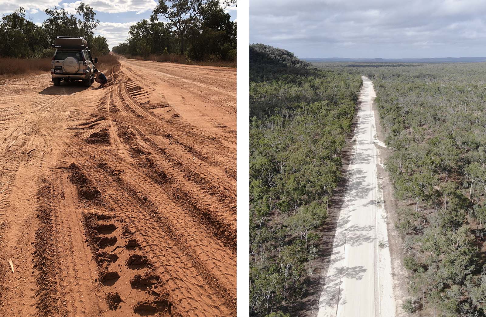
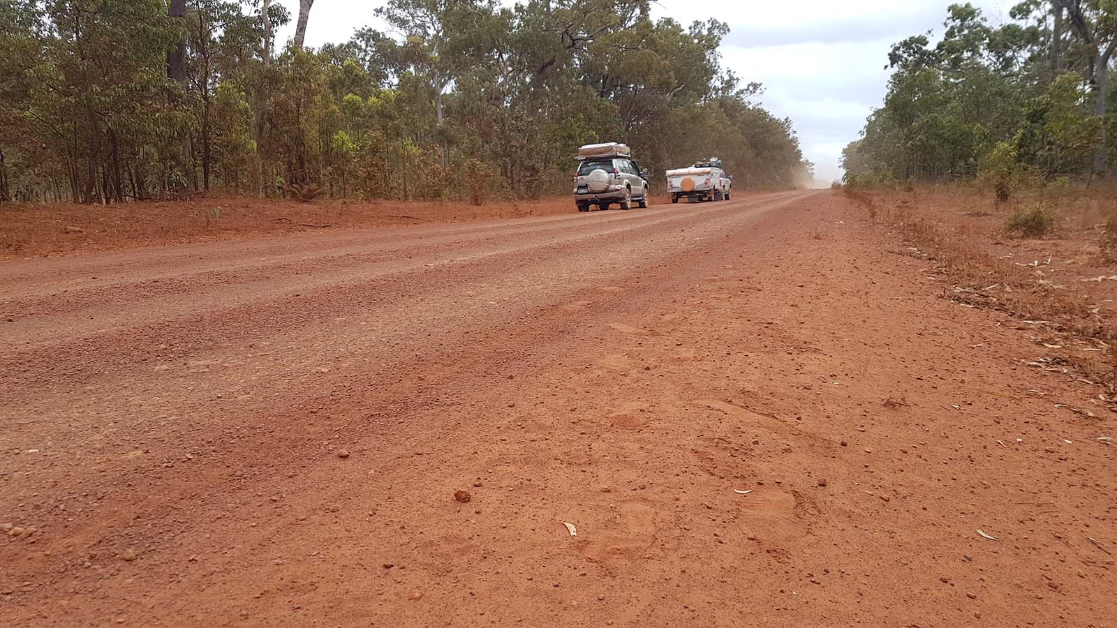
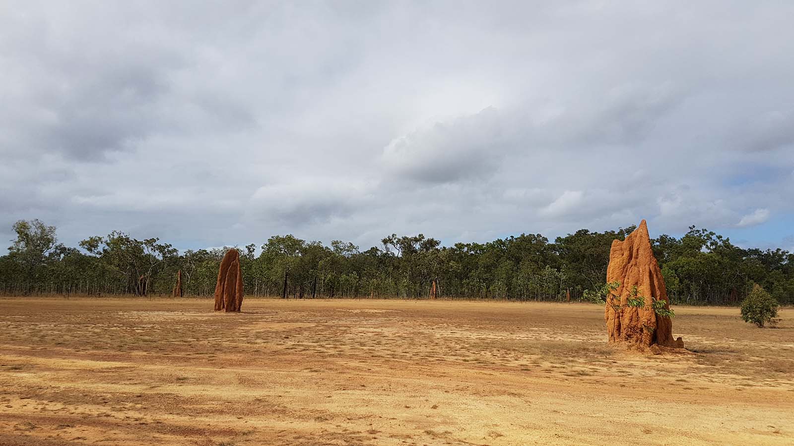
But it wasn’t long before we were amongst the dust ourselves. Never were we so happy to have the uhf radio between us, because 3 meters into the dust we couldn’t see each other’s vehicle and we had to drive far apart for the back car to have any sort of visibility. With the windows up and the aircon blasting to seal the dust from getting in, we bounced our way along the corrugations; in and out of dips; and past a landscape coated by the dust thrown up by passing traffic. Every now and then we’d hit a section of sealed road, usually in a floodway. We’d all breathe a sigh of relief and enjoy seeing the true greens of the trees whizzing past.
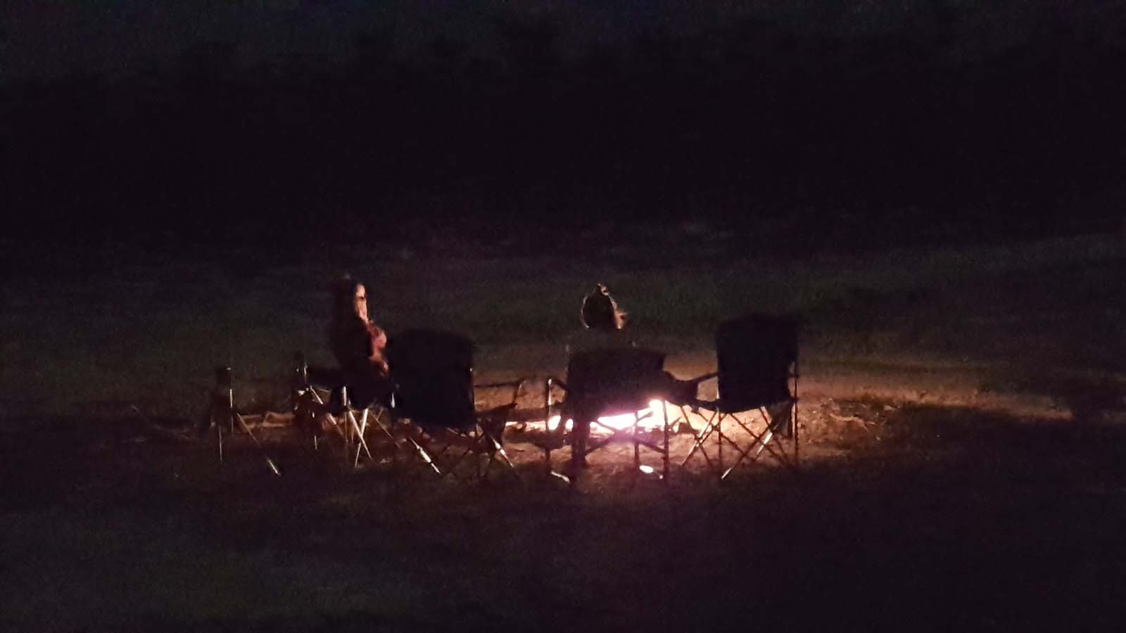
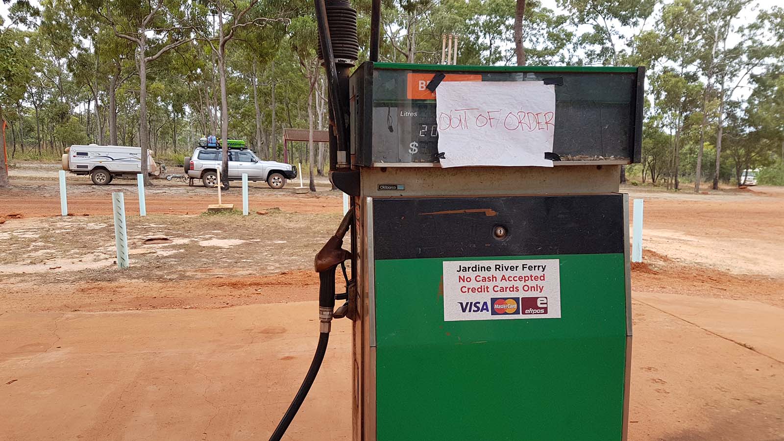
We stopped in at Hann River Roadhouse for fuel, hot chips and to see the resident emu, pig and parrot called Sunny. Back on the dirt it was getting late as we pulled into Musgrave Roadhouse. The place was chockers and so hectic compared to the tranquil wildness of the night before that we decided to press on in hope of something better. I had a series of free camps bookmarked in WikiCamps, and the first on the list had the heading ‘gravel pit’. We located the access track off to the right, marked with a large white tyre, drove around a hill, and found ourselves in a large empty gravel clearing. At any other time, it may have seemed like wasteland, but when you add in the remoteness of where we were; the thrill of discovery; the all-to-ourselves-ness; and a decent camp fire, you have a pretty epic overnighter – It was designated as “the gravel-pit behind the hill”.
The next morning, we continued north and came across three 4wds near a dip in the road, one that had rolled on its roof. They were just getting it upright again as we pulled alongside. Apparently, the front car hadn’t seen the dip and stopped suddenly. The second car stopped to miss the first car, and the third car, driving too close, and into the dust of the others, hit the second car from behind and flipped it. Luckily no one was hurt, but the dangers of combining speed, dust and proximity were very obvious. Later, as we drove out of the small township of Coen, we saw the trio limping in, one towing the other.
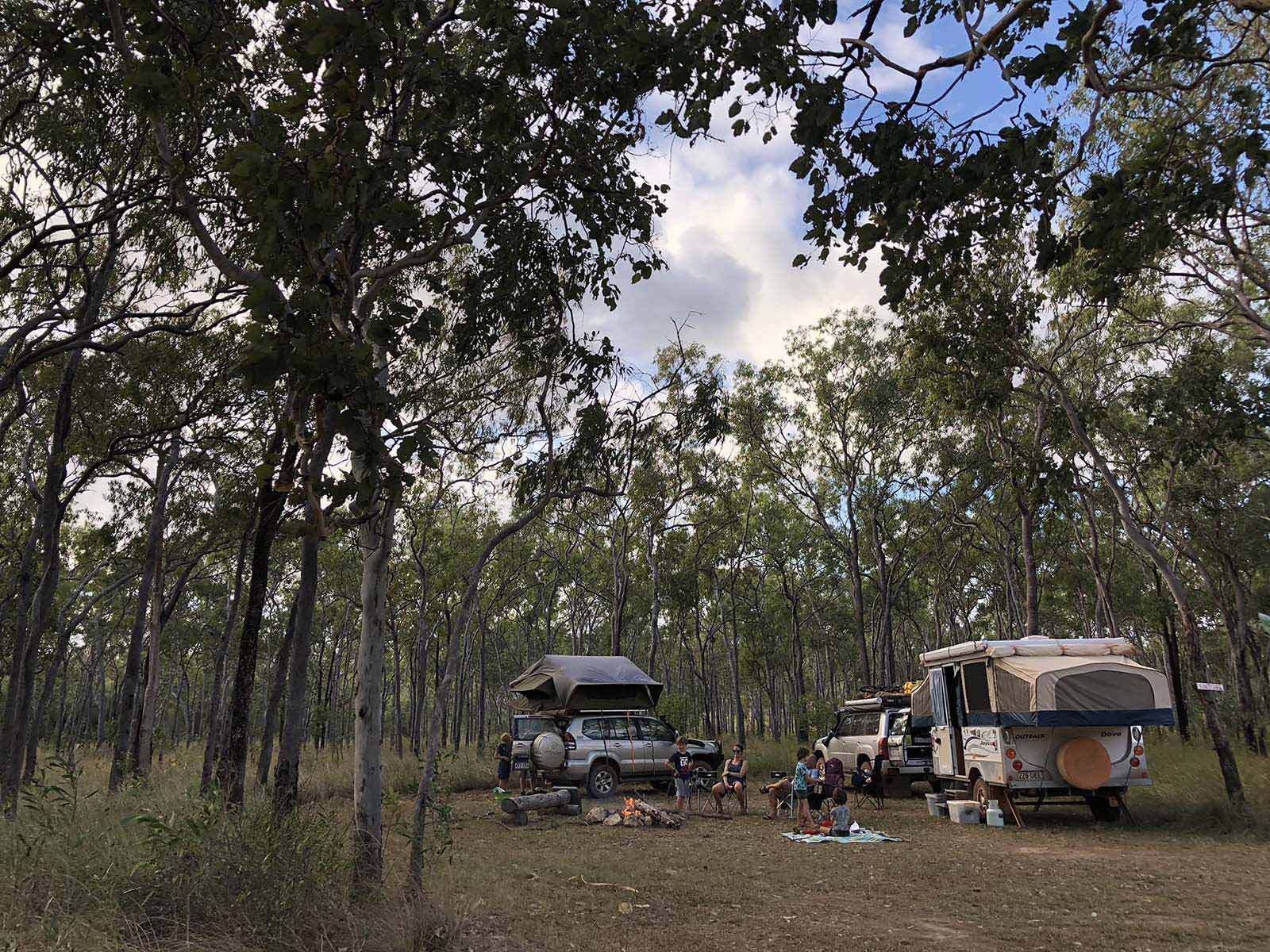
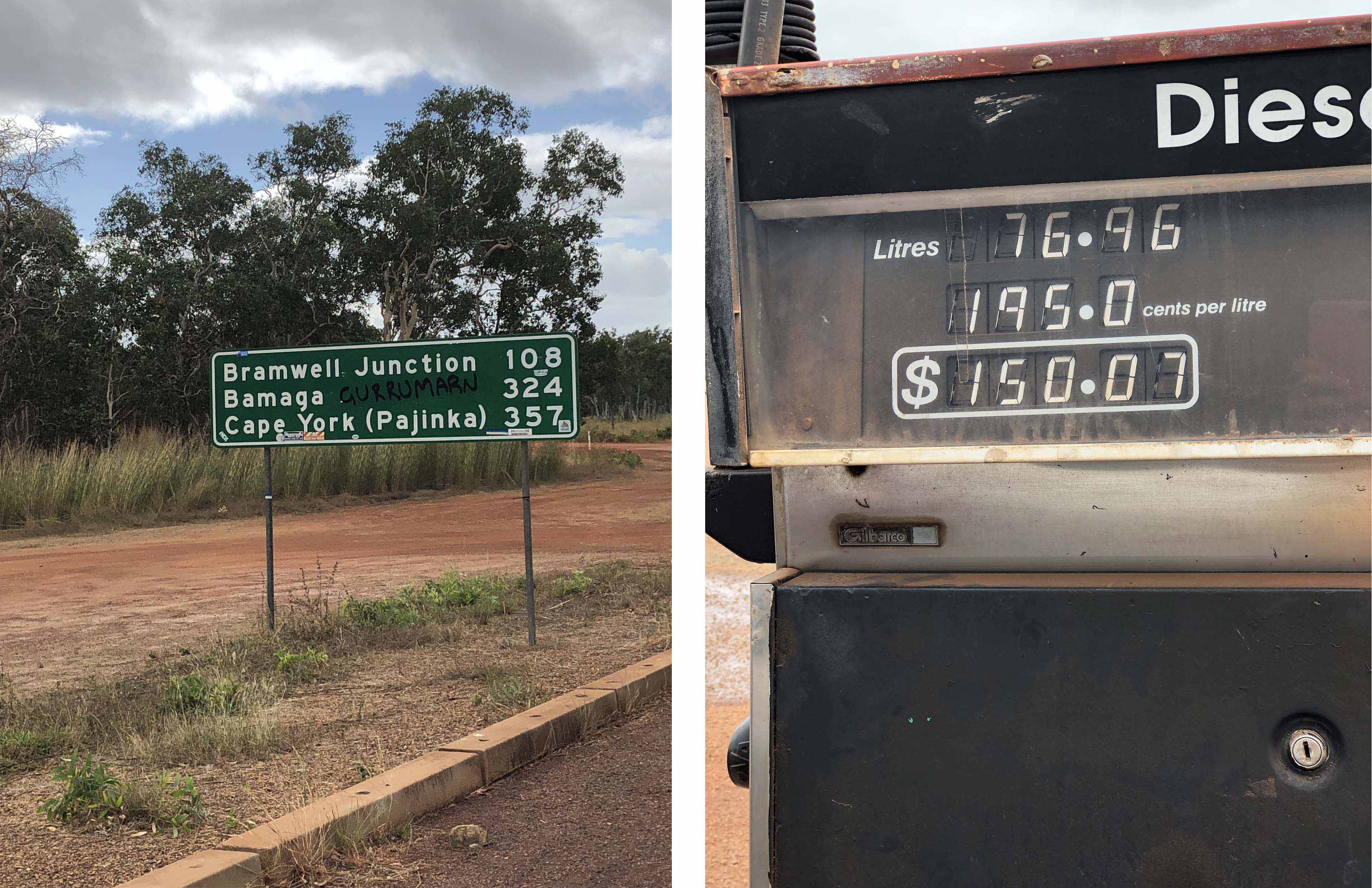
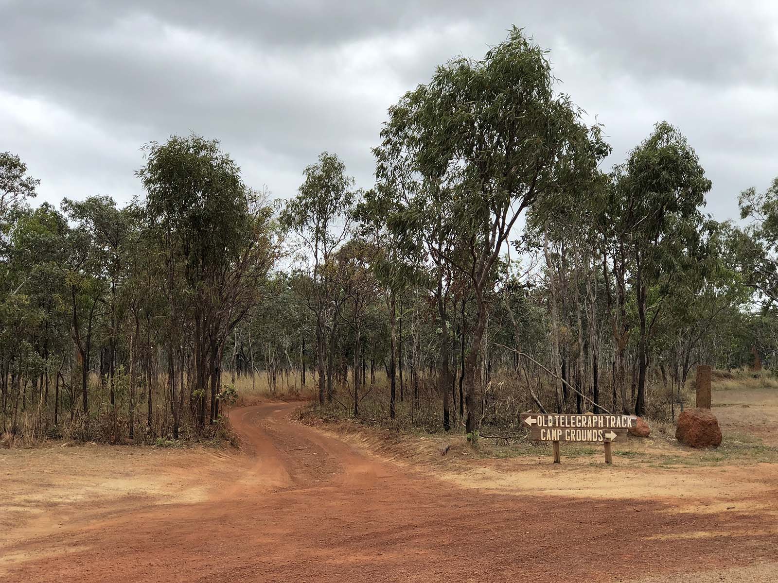
We spent the third night at Morton Telegraph Station. Another great choice, and with 3 epic camp sites to our names we were feeling pretty please with ourselves. We had also more or less reached the end of the PDR, the Peninsula Development Road, and tomorrow we would reach the junction where the path goes left up the OTT Old Telegraph Track with its numerous creek crossings, or goes right up the longer, but less-watery, bypass road. This time it’s the bypass roads for us, but we all stared a little longingly at where the track, turned left.
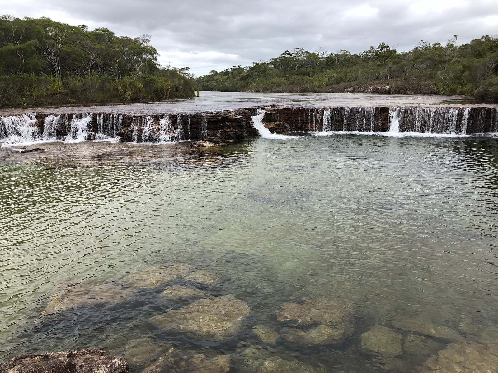
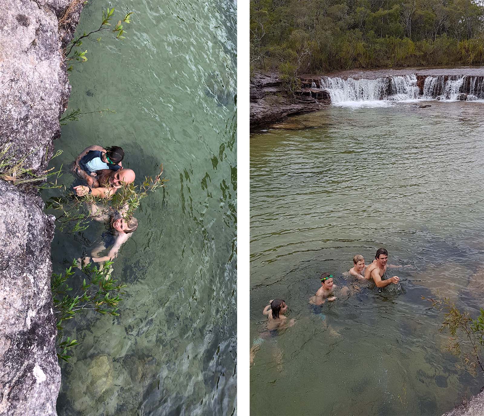
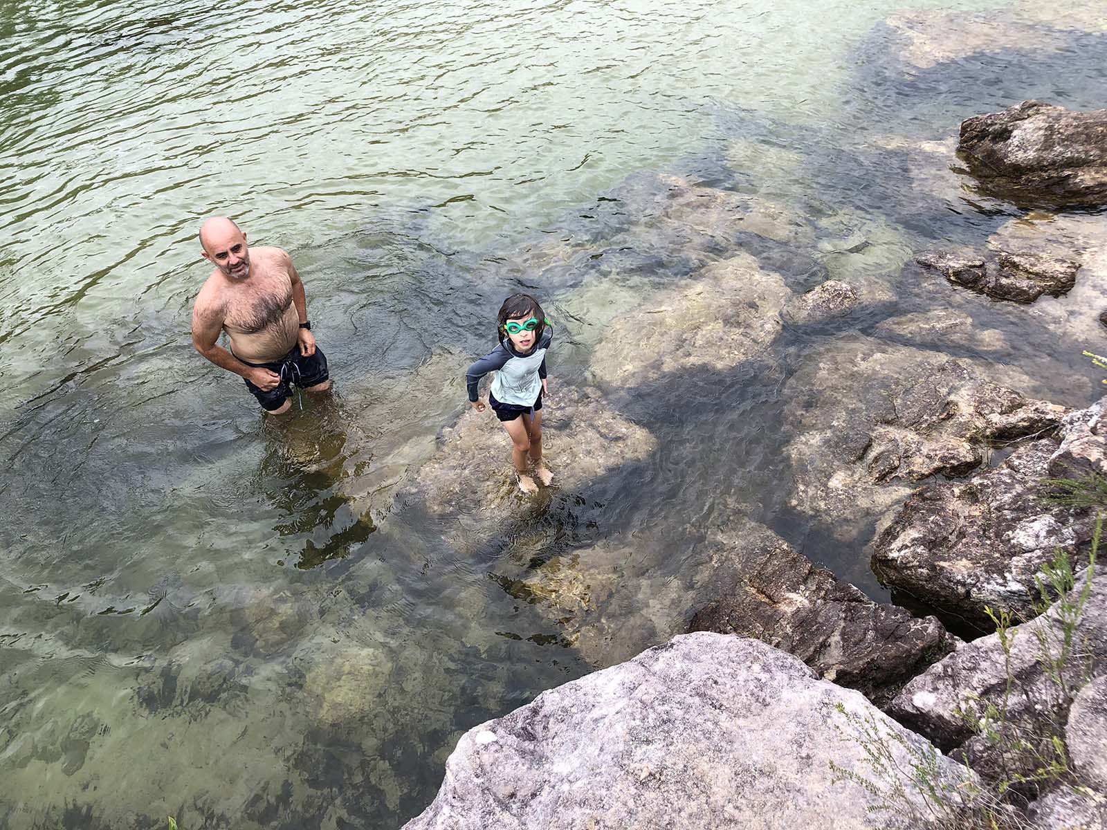
After many more corrugations we turned of the track to visit Fruitbat Falls for lunch as a swim. It was beautiful but cold, but then I usually feel the cold more than others. So I shivered, and watched as most of the others enjoyed the water and freedom after many hours on the road.
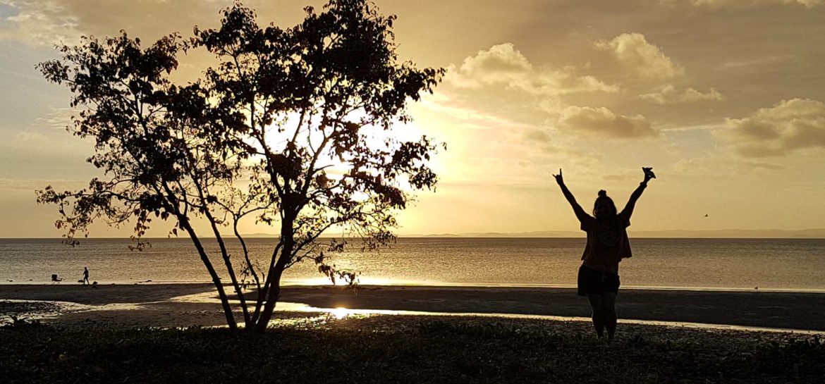
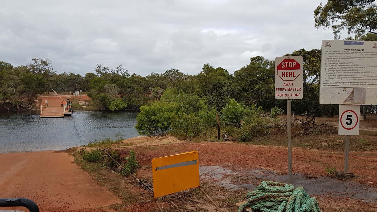
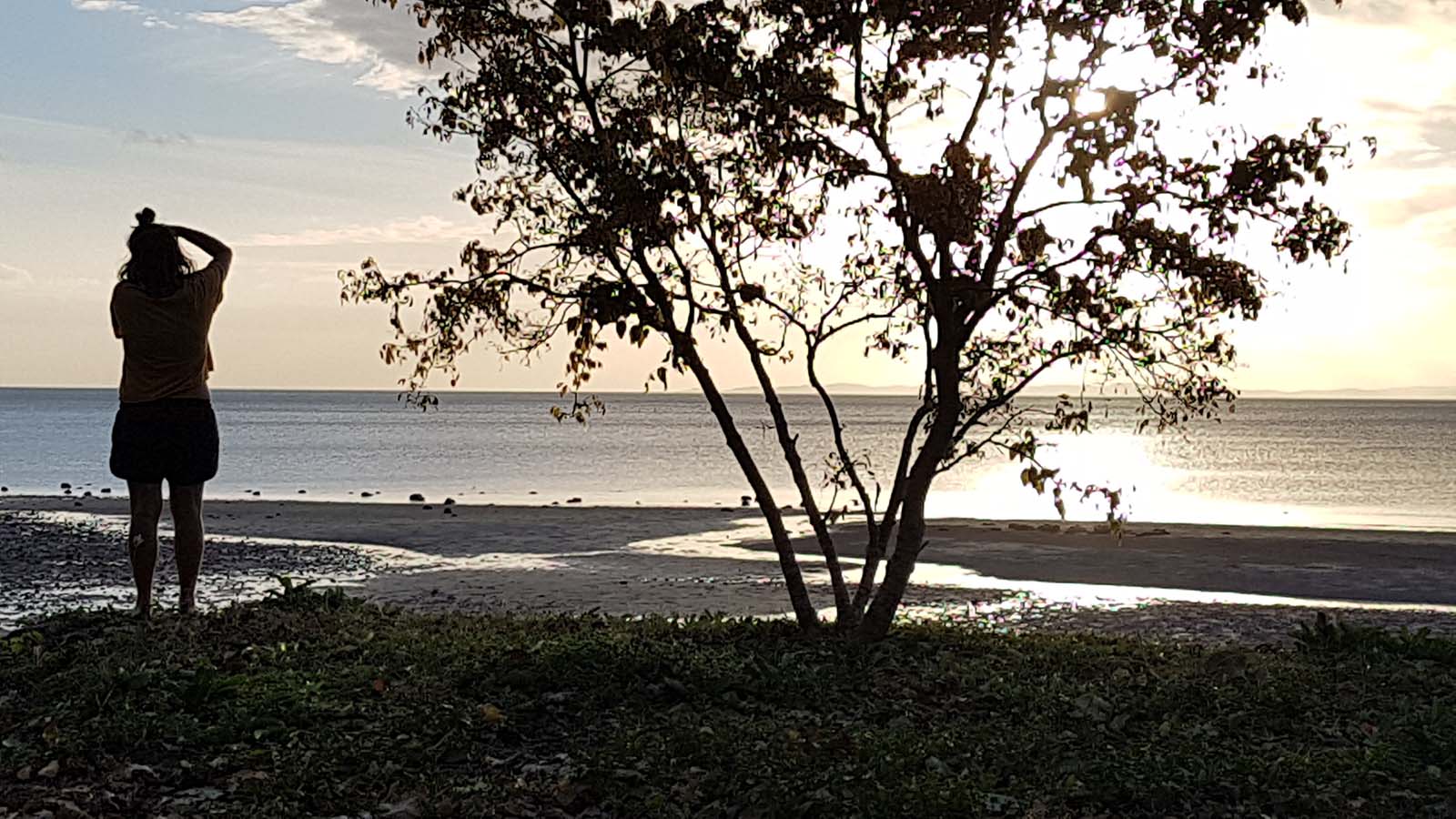
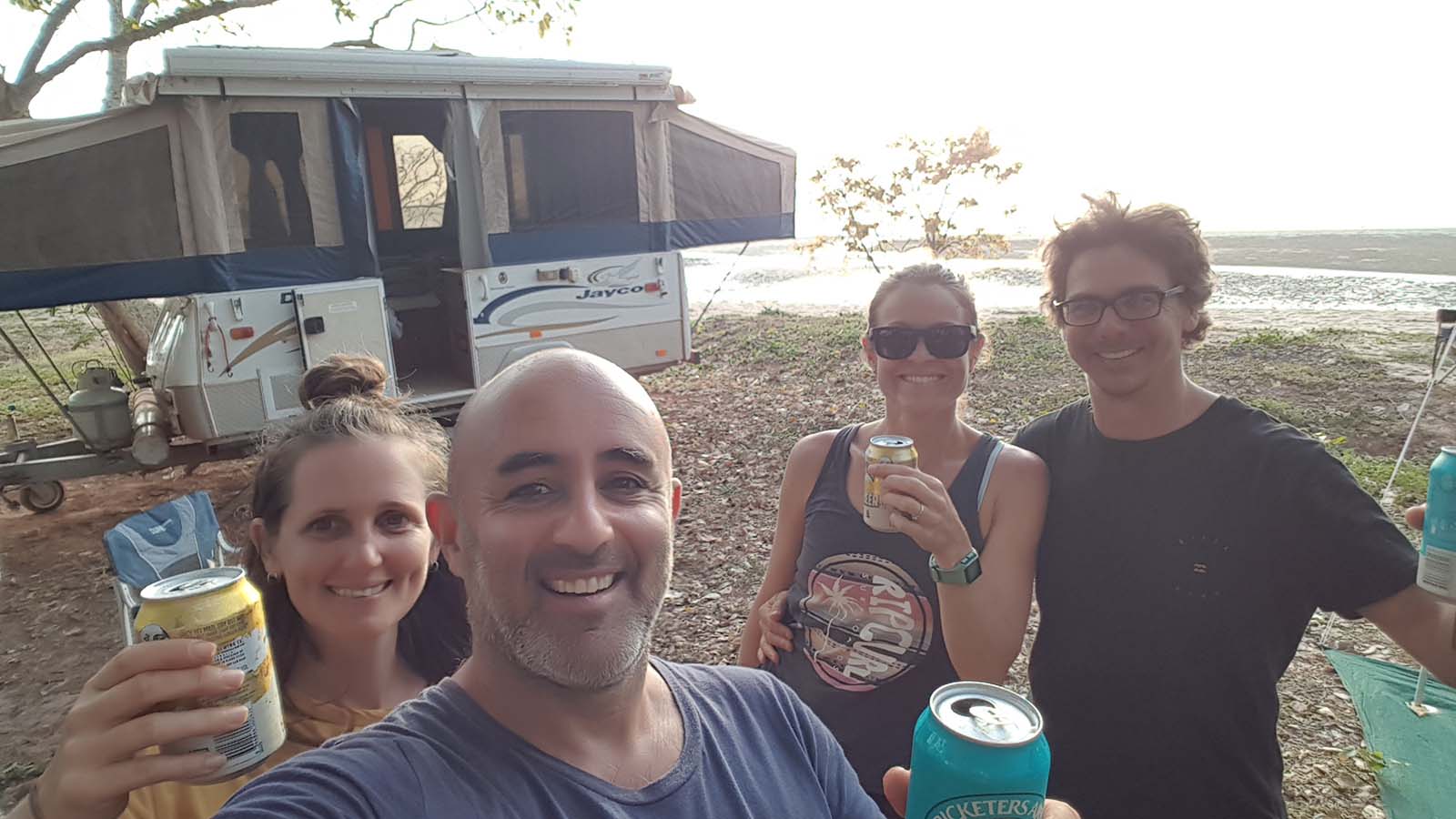
Finally, we arrived at the Jardine Ferry, the last water crossing on the road to the Cape, and the one that isn’t supposed to be driven across. 3 minutes later, and $120 poorer, we arrived on the opposite river bank. Feeling close to our goal, and wearing our dust like a second skin, we drove the last 40 minutes, through Bamaga to Loyalty beach, passing unowned dogs and horses the entire way. Then, with our feet on the sand, and our eyes scanning the seawater for crocs and sharks, we raised our drinks in happy triumph. We had made it!
An epic adventure! And a great retell. Love it xx